


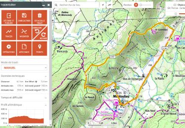
7,6 km | 11,2 km-effort

Utilisateur


Application GPS de randonnée GRATUITE
 SityTrail
IGN / Instituts géographiques
SityTrail World
Le monde est à vous
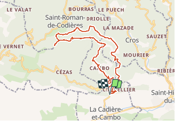
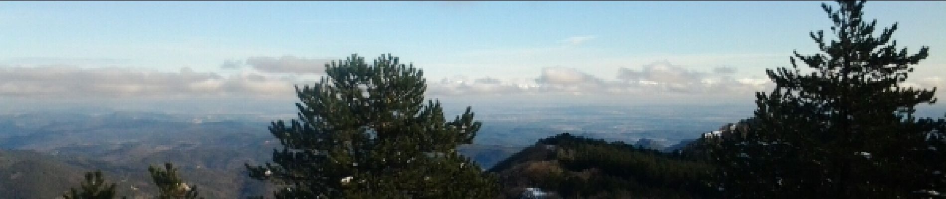
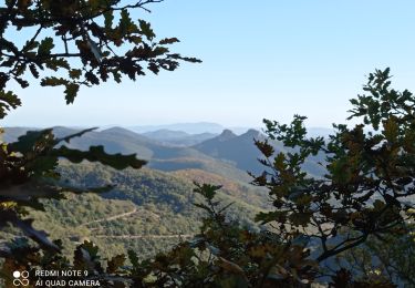
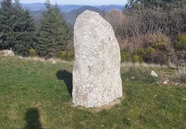
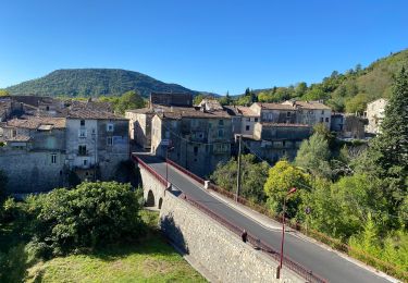
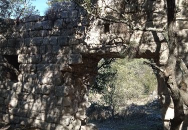
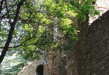
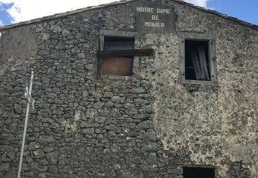
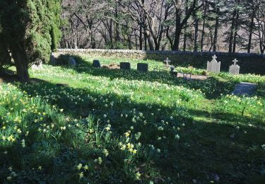
Randonnée Marche de 21 km à découvrir à Occitanie, Gard, La Cadière-et-Cambo. Cette randonnée est proposée par JEANJOSY.


Marche
Marche
Marche
Vélo de route
Marche
Marche
Marche
Marche
A pied